 Dhankuta District (Nepali: धनकुटा जिल्ला) (About this sound Listen (help·info)), a part of Kosi Zone, is one of the districts of Nepal, a landlocked country of South Asia. The district covers an area of 891 km² and has a population (2011) of 163,412.[1] Dhankuta is the district headquarters and a major administrative region in the Eahe vegetation zones in the district range from sub-tropical Sal forest along the Tamur and Arun rivers, and cooler temperate forests on some of the high ridges that mark the watershed between the two catchments. The altitude ranges from around 300m to 2500m. The majority of the population are involved in agriculture and crops include maize, riceand millet. Important cash crops include citrus fruits, cauliflower, cabbage, ginger, and in recent years, tea. A well-preserved forest (Rani Bhan - Queen's Forest) spreads along a ridge line on the northwest side of the village, with well-developed mature stands of rhododendron and sal (pine) trees.stern region.
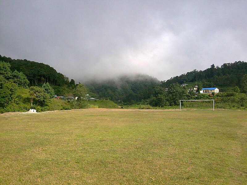
No comments:
Post a Comment